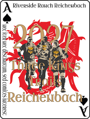
06.01.2027Reichenbach (Allemagne)
Créez votre plan de course →
Allure, ravitaillement et feuille d'assistance pour le parcours de votre choix
Départ dans
3 formats · 14–73 km · jusqu'à 1 610 m D+
3 formats
Analyse du parcours
73 km1 610 m D+
89km-effortⓘ73 km sur la carte · équivaut à 89 km
- D+
- 1 610 m
- D−
- 1 369 m
- Alt. max.
- 593 m
- Pente max.
- 7%
Segments
Profil altimétrique · 73 km
340 m — 593 m
La course
Defy the weather with us on the wonderful trails along natural streams. On the Ultra, you pass the Lobenstein and Siegenstein castle ruins, through the picturesque Otterbach valley to the Walhalla, then after a detour to the Donaustauf castle ruin, back to Reichenbach along the Sulzbach.
Où dormir
Trouvez où dormir près de Reichenbach pour la course.
Nous pouvons percevoir une commission si vous réservez via cette carte, sans surcoût pour vous.
Une information erronée sur cette page ? Écrivez-nous, nous la vérifierons. Signaler