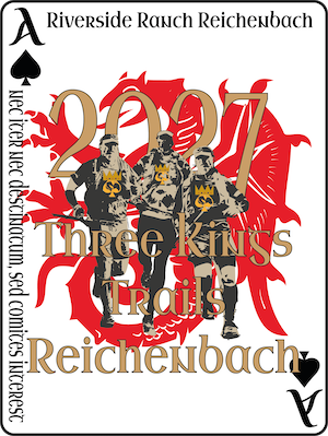
06.01.2027Reichenbach (Germany)
Build your race plan →
Pacing, fueling and crew sheet for the course you pick
Start line in
3 courses · 14–73 km · up to 1’610 m D+
3 courses
Course analysis
73 km1’610 m D+
89effort kmⓘ73 km on the map · feels like 89 km
- D+
- 1’610 m
- D−
- 1’369 m
- Max alt.
- 593 m
- Steepest
- 7%
Segments
Elevation profile: 73 km
340 m — 593 m
The race
Defy the weather with us on the wonderful trails along natural streams. On the Ultra, you pass the Lobenstein and Siegenstein castle ruins, through the picturesque Otterbach valley to the Walhalla, then after a detour to the Donaustauf castle ruin, back to Reichenbach along the Sulzbach.
Where to stay
Find a place to stay near Reichenbach for the race.
We may earn a commission if you book through this map, at no extra cost to you.
Spotted wrong info on this page? Tell us and we'll review it. Report it